
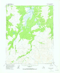
1956 Map of Tanana D-3
USGS Topo · Published 1960About this map
Kilo Hot Spring serves as a rare geothermal landmark within this interior Alaskan landscape, situated near the confluence of several significant drainage systems. The hydrography is dominated by the Kanuti Kilolitna River and the Kanuti River, which wind through a complex system of marshes and low-lying wetlands. Smaller tributaries like Torment Creek and Ishtafitna Creek feed into these larger arteries, illustrating the seasonal water movement through the Yukon-Koyukuk region. In the eastern portion of the survey, Allard Creek and Ray River define the local topography, while Hala Creek flows through the southeastern corner. This mid-century survey documents the area before significant modern alterations, showing a landscape defined entirely by its natural waterways and thermal features.
Find a feature on this map
8 named features on this map. Tap any name to fly to it.
Don’t see what you’re looking for? This feature index may not catch every label — zoom into the map to look around manually.
Map Details
Editions of this 1956 Tanana D-3 Map
2 editions found
Other maps of this area

1951 · Bettles
USGS Topo · 1:250,000

1951 · Tanana
USGS Topo · 1:250,000

1956 · Bettles
USGS Topo · 1:250,000

1956 · Tanana D-2
USGS Topo · 1:63,360

1956 · Tanana D-4
USGS Topo · 1:63,360

1956 · Tanana C-3
USGS Topo · 1:63,360

1956 · Tanana C-2
USGS Topo · 1:63,360

1956 · Tanana C-4
USGS Topo · 1:63,360

1956 · Tanana
USGS Topo · 1:250,000

1960 · Tanana
USGS Topo · 1:250,000