
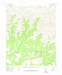
1956 Map of Tanana C-3
USGS Topo · Published 1960About this map
The Tozitna River snakes through the southern reaches of this interior Alaskan wilderness, as mapped during the mid-1950s. This territory is defined by its complex drainage systems, where significant waterways like Fleshlanana Creek and Gishna Creek flow through deeply carved valleys before joining the primary river corridor. To the north, the headwaters of the Kanuti River and Kilolitna River indicate the continental divide and the transition between different regional watersheds. The naming of Spooky Valley and its associated Spooky Valley Creek suggests the unique character early surveyors or locals attributed to this high-relief landscape. Absent of roads or permanent structures at the time of the survey, the map preserves a primary record of the hydrological network, from the eastern Twilight Creek to the western reaches of Kobuk Creek.
Find a feature on this map
12 named features on this map. Tap any name to fly to it.
Don’t see what you’re looking for? This feature index may not catch every label — zoom into the map to look around manually.
Map Details
Editions of this 1956 Tanana C-3 Map
3 editions found
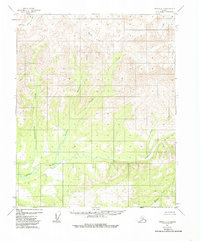
Other maps of this area

1951 · Tanana
USGS Topo · 1:250,000

1956 · Tanana D-2
USGS Topo · 1:63,360

1956 · Tanana D-4
USGS Topo · 1:63,360

1956 · Tanana B-2
USGS Topo · 1:63,360

1956 · Tanana D-3
USGS Topo · 1:63,360

1956 · Tanana B-3
USGS Topo · 1:63,360

1956 · Tanana C-2
USGS Topo · 1:63,360

1956 · Tanana C-4
USGS Topo · 1:63,360

1956 · Tanana B-4
USGS Topo · 1:63,360

1956 · Tanana
USGS Topo · 1:250,000