
1956 Map of Tanana B-2
USGS Topo · Published 1960About this map
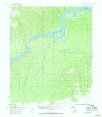
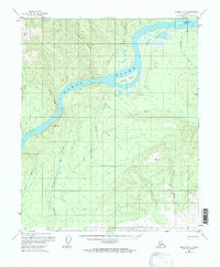
The Yukon River carves a massive sweeping arc through the heart of this mid-century Alaskan interior, defining the geography of the Tanana region. Along its banks, small signs of human activity appear in the form of isolated Cabin and Cabins structures, likely used for trapping, fishing, or subsistence living along this vital transportation corridor. The river is punctuated by large landforms like Twelvemile Island and Garnet Island, which redirect the heavy flow of water. To the south and west, the landscape rises into prominent high ground at Raven Ridge, while a dense network of tributaries including Marshall, Garnet, and Stevens Creek drain the surrounding wilderness. These waterways represent the primary routes of travel in an era before significant road development, where life was tied directly to the seasonal rhythms of the river and the resources of the surrounding valleys.
Find a feature on this map
15 named features on this map. Tap any name to fly to it.
Don’t see what you’re looking for? This feature index may not catch every label — zoom into the map to look around manually.
Map Details
Editions of this 1956 Tanana B-2 Map
3 editions found
Other maps of this area

1951 · Tanana
USGS Topo · 1:250,000

1952 · Tanana A-1
USGS Topo · 1:63,360

1952 · Tanana A-3
USGS Topo · 1:63,360

1952 · Tanana A-2
USGS Topo · 1:63,360

1953 · Tanana A-2
USGS Topo · 1:63,360

1953 · Tanana A-3
USGS Topo · 1:63,360

1956 · Tanana B-1
USGS Topo · 1:63,360

1956 · Tanana C-1
USGS Topo · 1:63,360

1956 · Tanana C-3
USGS Topo · 1:63,360

1956 · Tanana B-3
USGS Topo · 1:63,360