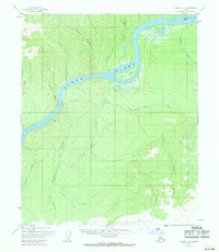
1956 Map of Tanana B-2
USGS Topo · Published 1971About this map
The Yukon River carves a massive northern arc through this interior landscape, dominated by a network of drainage basins and high ridges. This mid-century survey illustrates a wilderness defined by its water routes, where large landforms like Garnet Island and Twelvemile Island split the river's main channel. Settlement is sparse and temporary, evidenced only by isolated Cabin and Cabins sites along the riverbanks, likely serving as seasonal trapping or fishing camps.
Find a feature on this map
19 named features on this map. Tap any name to fly to it.
Don’t see what you’re looking for? This feature index may not catch every label — zoom into the map to look around manually.
Map Details
Editions of this 1956 Tanana B-2 Map
3 editions found
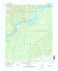
Other maps of this area

1951 · Tanana
USGS Topo · 1:250,000

1952 · Tanana A-1
USGS Topo · 1:63,360

1952 · Tanana A-3
USGS Topo · 1:63,360

1952 · Tanana A-2
USGS Topo · 1:63,360

1953 · Tanana A-2
USGS Topo · 1:63,360

1953 · Tanana A-3
USGS Topo · 1:63,360

1956 · Tanana B-1
USGS Topo · 1:63,360

1956 · Tanana C-1
USGS Topo · 1:63,360

1956 · Tanana B-2
USGS Topo · 1:63,360

1956 · Tanana C-3
USGS Topo · 1:63,360