
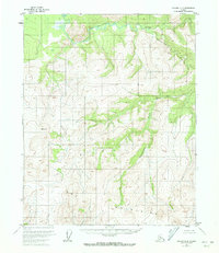
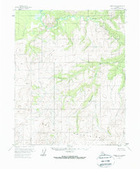
1956 Map of Tanana D-4
USGS Topo · Published 1960About this map
The Kanuti River and Kilolitna River define the drainage of this interior Alaskan wilderness as recorded in the mid-1950s. While no settlements or roads are present, the map provides a precise layout of the hydrography, including the winding course of Ishtalitna Creek and Banddana Creek. Elevation is measured at notable peaks like Trouble, which includes a specific triangulation station labeled VABM 3047 Trouble. This survey was compiled using aerial photography from 1952, capturing the region's topography before significant modern activity or exploration reached this section of the Yukon-Koyukuk region. It serves as a primary reference for the land's natural state, noting specific drainage patterns and unnamed ridges typical of the Tanana quadrangle series.
Find a feature on this map
8 named features on this map. Tap any name to fly to it.
Don’t see what you’re looking for? This feature index may not catch every label — zoom into the map to look around manually.
Map Details
Editions of this 1956 Tanana D-4 Map
3 editions found
Other maps of this area

1951 · Bettles
USGS Topo · 1:250,000

1951 · Tanana
USGS Topo · 1:250,000

1956 · Bettles
USGS Topo · 1:250,000

1956 · Tanana D-3
USGS Topo · 1:63,360

1956 · Tanana C-3
USGS Topo · 1:63,360

1956 · Tanana C-5
USGS Topo · 1:63,360
1956 · Tanana D-5
USGS Topo · 1:63,360

1956 · Tanana C-4
USGS Topo · 1:63,360

1956 · Tanana
USGS Topo · 1:250,000

1960 · Tanana
USGS Topo · 1:250,000