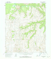
1956 Map of Tanana D-4
USGS Topo · Published 1972About this map
The Kanuti River and Kilolitna River converge in this high-latitude terrain, where the northern Interior landscape begins to transition into the Brooks Range foothills. Based on 1952 aerial photography and 1956 field annotations, this map captures the remote drainage patterns of the Ishtalitna Creek and Banddana Creek systems before modern development or resource exploration altered the region. The map reveals a land defined by extensive mountains and unnamed peaks reaching over 3,000 feet, highlighting the intricate contouring of the Yukon-Koyukuk territory.
Find a feature on this map
5 named features on this map. Tap any name to fly to it.
Don’t see what you’re looking for? This feature index may not catch every label — zoom into the map to look around manually.
Map Details
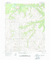
Editions of this 1956 Tanana D-4 Map
3 editions found
Other maps of this area

1951 · Bettles
USGS Topo · 1:250,000

1951 · Tanana
USGS Topo · 1:250,000

1956 · Bettles
USGS Topo · 1:250,000

1956 · Tanana D-4
USGS Topo · 1:63,360

1956 · Tanana D-3
USGS Topo · 1:63,360

1956 · Tanana C-3
USGS Topo · 1:63,360

1956 · Tanana C-5
USGS Topo · 1:63,360
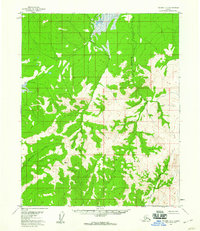
1956 · Tanana D-5
USGS Topo · 1:63,360

1956 · Tanana C-4
USGS Topo · 1:63,360

1956 · Tanana
USGS Topo · 1:250,000