
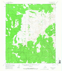
1956 Map of Tanana B-4
USGS Topo · Published 1960About this map
The Tanana-Allakaket Winter Trail cuts a diagonal path across this subarctic landscape, marking a vital overland corridor through the Yukon-Koyukuk region. Surveyed in the mid-1950s, the terrain is defined by a dense network of drainage systems, including Ptarmigan Creek and Reindeer Creek in the northwest, which flow through high-relief areas toward the larger river basins. The central heights are anchored by VABM Schief, a primary triangulation station used for the photogrammetric mapping of these interior Alaskian reaches.
Find a feature on this map
9 named features on this map. Tap any name to fly to it.
Don’t see what you’re looking for? This feature index may not catch every label — zoom into the map to look around manually.
Map Details
Editions of this 1956 Tanana B-4 Map
2 editions found
Other maps of this area

1951 · Tanana
USGS Topo · 1:250,000

1952 · Tanana A-3
USGS Topo · 1:63,360

1952 · Tanana A-4
USGS Topo · 1:63,360

1952 · Tanana A-5
USGS Topo · 1:63,360

1953 · Tanana A-3
USGS Topo · 1:63,360

1953 · Tanana A-5
USGS Topo · 1:63,360

1956 · Tanana B-5
USGS Topo · 1:63,360

1956 · Tanana C-3
USGS Topo · 1:63,360

1956 · Tanana B-3
USGS Topo · 1:63,360

1956 · Tanana C-5
USGS Topo · 1:63,360