
1956 Map of Tanana D-1
USGS Topo · Published 1960About this map
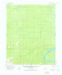
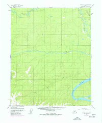
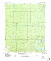
The Yukon River flows through the southeastern corner of this Alaskan wilderness, providing a primary navigation artery through an otherwise roadless interior. The landscape is defined by the significant drainages of the Ray River and Big Salt River, which weave across the northern and central portions of the quadrangle. Human presence is marked by isolated Cabins and unidentified Ruins along the banks of the Yukon, suggesting the survival and movement patterns of early hunters, trappers, or indigenous residents before the era of modern development.
Find a feature on this map
10 named features on this map. Tap any name to fly to it.
Don’t see what you’re looking for? This feature index may not catch every label — zoom into the map to look around manually.
Map Details
Editions of this 1956 Tanana D-1 Map
4 editions found
Other maps of this area

1945 · Livengood
USGS Topo · 1:250,000

1951 · Bettles
USGS Topo · 1:250,000

1951 · Tanana
USGS Topo · 1:250,000

1951 · Livengood
USGS Topo · 1:250,000

1951 · Beaver
USGS Topo · 1:250,000

1956 · Bettles
USGS Topo · 1:250,000

1956 · Tanana C-1
USGS Topo · 1:63,360

1956 · Livengood C-6
USGS Topo · 1:63,360

1956 · Beaver
USGS Topo · 1:250,000

1956 · Livengood D-6
USGS Topo · 1:63,360