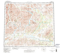
1956 Map of Chandalar
USGS Topo · Published 1988About this map
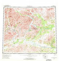
Chandalar River and its major tributaries, including the North Fork Chandalar River and Middle Fork Chandalar River, dominate this landscape north of the Yukon Flats. The map reveals a transition between wilderness preservation and industrial infrastructure, where the Trans-Alaska Pipeline and several landing strips like Dietrich Camp contrast with the protected lands of the Arctic National Wildlife Refuge and Gates of the Arctic National Park and Wilderness.
Find a feature on this map
105 named features on this map. Tap any name to fly to it.
Don’t see what you’re looking for? This feature index may not catch every label — zoom into the map to look around manually.
Map Details
Editions of this 1956 Chandalar Map
8 editions found

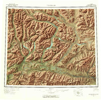
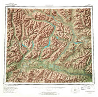
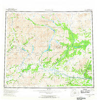
Other maps of this area

1951 · Fort Yukon
USGS Topo · 1:250,000

1951 · Bettles
USGS Topo · 1:250,000

1951 · Chandler Lake
USGS Topo · 1:250,000

1951 · Chandalar
USGS Topo · 1:250,000

1951 · Christian
USGS Topo · 1:250,000

1951 · Brooks
USGS Topo · 1:250,000

1951 · Beaver
USGS Topo · 1:250,000

1951 · Arctic
USGS Topo · 1:250,000

1951 · Wiseman
USGS Topo · 1:250,000

1956 · Arctic
USGS Topo · 1:250,000