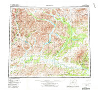
1956 Map of Chandalar
USGS Topo · Published 1982About this map
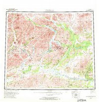
Chandalar serves as the focal point for this wilderness landscape, centered near the McLean Mine and several remote landing strips. The map documents a critical period of infrastructure development, most notably the path of the Trans-Alaska Pipeline cutting through the western portion of the terrain. The geography is defined by the complex drainage systems of the Middle Fork Chandalar River, the North Fork Chandalar River, and the East Fork Chandalar River, which converge south toward the Venetie Indian Reservation. Settlements like Caro and the West Buttons are connected by a network of seasonal routes including the Winter Trail and Hickory Trail. This 1982 revision incorporates modern federal boundaries established by the Alaska National Interest Lands Conservation Act, positioning the river valleys between the Arctic National Wildlife Refuge and Gates of the Arctic National Park (Wilderness).
Find a feature on this map
67 named features on this map. Tap any name to fly to it.
Don’t see what you’re looking for? This feature index may not catch every label — zoom into the map to look around manually.
Map Details
Editions of this 1956 Chandalar Map
8 editions found

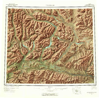
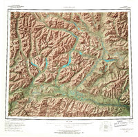
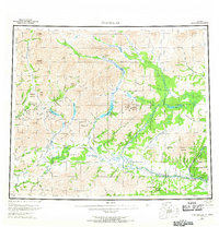
Other maps of this area

1951 · Fort Yukon
USGS Topo · 1:250,000

1951 · Bettles
USGS Topo · 1:250,000

1951 · Chandler Lake
USGS Topo · 1:250,000

1951 · Chandalar
USGS Topo · 1:250,000

1951 · Christian
USGS Topo · 1:250,000

1951 · Brooks
USGS Topo · 1:250,000

1951 · Beaver
USGS Topo · 1:250,000

1951 · Arctic
USGS Topo · 1:250,000

1951 · Wiseman
USGS Topo · 1:250,000

1956 · Arctic
USGS Topo · 1:250,000