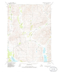
1971 Map of Chandalar C-5
USGS Topo · Published 1986About this map
Bob Johnson Lake and the surrounding drainages of the Bettles River dominate this 1970s landscape in the Alaskan interior. The map documents a sparsely settled wilderness where human activity is concentrated along waterways and small mountain passes. A significant Landing Strip and a series of Cabins near the confluence of Eightmile Creek and the river indicate a waypoint for seasonal bush pilots or miners. To the east, the terrain rises toward Horace Mountain and the high basins of Twin Lakes. The presence of small settlements like Big Jim along Big Jim Creek suggests localized hunting or trapping camps characteristic of the Yukon-Koyukuk region before more modern developments. Tributaries like Billy Glen Creek and Garnet Creek cut through the steep topography, feeding the larger Mathews and Bettles systems.
Find a feature on this map
24 named features on this map. Tap any name to fly to it.
Don’t see what you’re looking for? This feature index may not catch every label — zoom into the map to look around manually.
Map Details
Editions of this 1971 Chandalar C-5 Map
2 editions found
Other maps of this area

1951 · Chandalar
USGS Topo · 1:250,000

1956 · Chandalar
USGS Topo · 1:250,000

1964 · Chandalar
USGS Topo · 1:250,000
1971 · Chandalar D-6
USGS Topo · 1:63,360
1971 · Chandalar D-5
USGS Topo · 1:63,360

1971 · Chandalar B-5
USGS Topo · 1:63,360

1971 · Chandalar C-5
USGS Topo · 1:63,360
1971 · Chandalar C-6
USGS Topo · 1:63,360
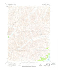
1971 · Chandalar C-4
USGS Topo · 1:63,360
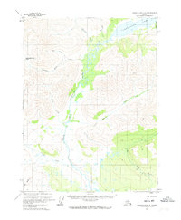
1971 · Chandalar B-4
USGS Topo · 1:63,360