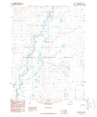
1990 Map of Coleen B-4
USGS Topo · Published 1990About this map
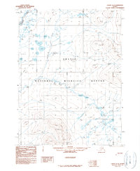
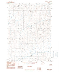
The Coleen River meanders through a vast network of wetlands and oxbow lakes in this 1990 provisional survey of northeastern Alaska. Located entirely within the Arctic National Wildlife Refuge, the landscape is defined by its complex hydrology, with numerous surveyed water levels such as Wl 823t and Wl 908t marking the shifting basins of the river valley. A lone Winter Trail provides the only evidence of human passage through this wilderness, cutting north-south across the muskeg and low-lying hills. In the southern portion of the sheet, Grayling Creek joins the system near several small, unnamed ponds. The map captures a frozen-in-time look at a subarctic environment before modern climatic shifts, documenting the precise location of features like Wl 1008t and Wl 978t for environmental historians and researchers.
Find a feature on this map
74 named features on this map. Tap any name to fly to it.
Don’t see what you’re looking for? This feature index may not catch every label — zoom into the map to look around manually.
Map Details
Editions of this 1990 Coleen B-4 Map
This is the sole edition of this map. No revisions or reprints were ever made.
Other maps of this area

1951 · Coleen
USGS Topo · 1:250,000

1956 · Coleen
USGS Topo · 1:250,000

1956 · Coleen A-5
USGS Topo · 1:63,360

1956 · Coleen A-3
USGS Topo · 1:63,360

1956 · Coleen A-4
USGS Topo · 1:63,360
1990 · Coleen B-3
USGS Topo · 1:63,360
1990 · Coleen C-4
USGS Topo · 1:63,360
1990 · Coleen B-5
USGS Topo · 1:63,360
1990 · Coleen C-3
USGS Topo · 1:63,360
1990 · Coleen C-5
USGS Topo · 1:63,360