
1956 Map of Coleen A-5
USGS Topo · Published 1959About this map
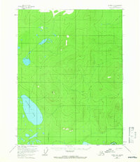
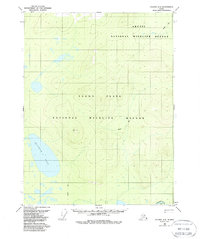
Graphite Lake lies within this northern landscape as it appeared in the late 1950s, surrounded by numerous small water bodies and marshy terrain characteristic of the Yukon-Koyukuk region. The area is defined by its remoteness, marked only by the Tractor Trail cutting through the interior and the survey marker at VABM 1625 Nancy. In the southeastern corner, the Porcupine River makes a brief appearance, anchoring the drainage system of this subarctic wilderness. This 1956 field survey represents an era of aerial photogrammetry used to document the interior's topography, capturing the land before modern development or changes in water levels altered the placement of small unnamed ponds and lakes scattered throughout the basin.
Find a feature on this map
4 named features on this map. Tap any name to fly to it.
Don’t see what you’re looking for? This feature index may not catch every label — zoom into the map to look around manually.
Map Details
Editions of this 1956 Coleen A-5 Map
3 editions found
Other maps of this area

1951 · Black River
USGS Topo · 1:250,000

1951 · Coleen
USGS Topo · 1:250,000

1956 · Coleen
USGS Topo · 1:250,000

1956 · Black River D-6
USGS Topo · 1:63,360

1956 · Black River D-4
USGS Topo · 1:63,360

1956 · Black River D-5
USGS Topo · 1:63,360
1956 · Coleen A-6
USGS Topo · 1:63,360

1956 · Coleen A-4
USGS Topo · 1:63,360

1956 · Black River
USGS Topo · 1:250,000

1964 · Black River
USGS Topo · 1:250,000