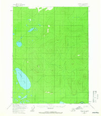
1956 Map of Coleen A-5
USGS Topo · Published 1966About this map
Graphite Lake dominates the southwestern portion of this 1950s interior landscape, situated within a vast system of unnamed wetlands and low-relief terrain. The map captures a wilderness in transition, documented by the Bureau of Land Management and the Geological Survey primarily through aerial photography. A prominent Tractor Trail cuts across the northern and southern sectors, indicating the seasonal transit routes essential for movement through this remote subarctic region before more permanent infrastructure existed. In the southeast, the Porcupine River winds past Deacons Rock, while surveying markers like VABM Nancy 1625 provide the few fixed points of reference in an area defined by its shifting marshlands and intricate contour lines.
Find a feature on this map
5 named features on this map. Tap any name to fly to it.
Don’t see what you’re looking for? This feature index may not catch every label — zoom into the map to look around manually.
Map Details
Editions of this 1956 Coleen A-5 Map
3 editions found
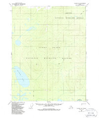
Other maps of this area

1951 · Black River
USGS Topo · 1:250,000

1951 · Coleen
USGS Topo · 1:250,000

1956 · Coleen
USGS Topo · 1:250,000

1956 · Black River D-6
USGS Topo · 1:63,360

1956 · Coleen A-5
USGS Topo · 1:63,360

1956 · Black River D-4
USGS Topo · 1:63,360

1956 · Black River D-5
USGS Topo · 1:63,360
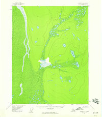
1956 · Coleen A-6
USGS Topo · 1:63,360

1956 · Coleen A-4
USGS Topo · 1:63,360

1956 · Black River
USGS Topo · 1:250,000