
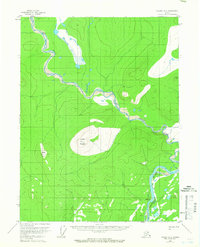
1956 Map of Coleen A-4
USGS Topo · Published 1959About this map
The Porcupine River curves through the southeastern corner of this terrain, meeting the lower reaches of the Coleen River amidst a complex network of wetlands and shifting channels. Surveyed in the mid-1950s using aerial photography, the landscape is defined by the prominent heights of Coleen Mountain and Mount Marr, which rise sharply above the river valleys. A lone Tractor Trail in the northwest provides the only named evidence of mechanized passage through this remote interior. The presence of Burnt Paw near the southern riverbend suggests a specific localized landing or point of interest for river travelers of the era. The mapping reflects the mid-century effort by the U.S. Geological Survey to document the drainage patterns and topography of the Arctic wilderness before significant modern change.
Find a feature on this map
6 named features on this map. Tap any name to fly to it.
Don’t see what you’re looking for? This feature index may not catch every label — zoom into the map to look around manually.
Map Details
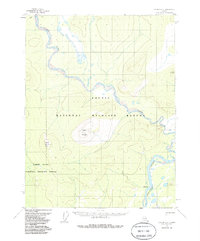
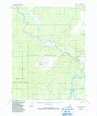
Editions of this 1956 Coleen A-4 Map
4 editions found
Other maps of this area

1951 · Black River
USGS Topo · 1:250,000

1951 · Coleen
USGS Topo · 1:250,000

1956 · Coleen
USGS Topo · 1:250,000

1956 · Black River D-3
USGS Topo · 1:63,360

1956 · Coleen A-5
USGS Topo · 1:63,360

1956 · Black River D-4
USGS Topo · 1:63,360

1956 · Black River D-5
USGS Topo · 1:63,360

1956 · Coleen A-3
USGS Topo · 1:63,360

1956 · Black River
USGS Topo · 1:250,000

1964 · Black River
USGS Topo · 1:250,000