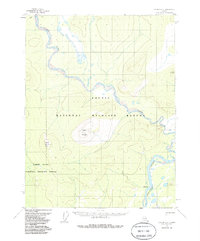
1956 Map of Coleen A-4
USGS Topo · Published 1985About this map
Coleen River winds through this subarctic landscape where the southern reaches of the Brooks Range meet the expansive Yukon Flats. Surveyed in the mid-1950s, the terrain is dominated by prominent peaks such as Coleen Mountain and Mount Marr, which rise above the river valleys. The hydrology of the region is defined by the confluence of the Coleen and the Porcupine River, the latter of which provides a major drainage route through the southeastern corner of the quadrangle near the landmark at Burnt Paw. Human presence is marked by a single Winter Trail in the northern sector, reflecting the seasonal mobility required in this environment. Significant portions of the land are managed under the Arctic National Wildlife Refuge and the Yukon Flats National Wildlife Refuge, highlighting the conservation status of these river corridors and mountain ranges.
Find a feature on this map
9 named features on this map. Tap any name to fly to it.
Don’t see what you’re looking for? This feature index may not catch every label — zoom into the map to look around manually.
Map Details
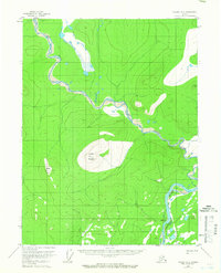
Editions of this 1956 Coleen A-4 Map
4 editions found
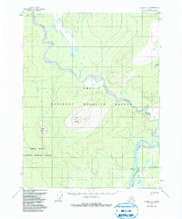
Other maps of this area

1951 · Black River
USGS Topo · 1:250,000

1951 · Coleen
USGS Topo · 1:250,000

1956 · Coleen
USGS Topo · 1:250,000

1956 · Black River D-3
USGS Topo · 1:63,360

1956 · Coleen A-5
USGS Topo · 1:63,360

1956 · Black River D-4
USGS Topo · 1:63,360

1956 · Black River D-5
USGS Topo · 1:63,360

1956 · Coleen A-3
USGS Topo · 1:63,360

1956 · Coleen A-4
USGS Topo · 1:63,360

1956 · Black River
USGS Topo · 1:250,000