
1954 Map of Medfra C-3
USGS Topo · Published 1964About this map
Sulukna River meanders through this interior Alaska landscape, serving as a primary drainage for a series of named peaks and ridges during the mid-1950s. The topography is defined by prominent elevations such as Lone Indian Mountain in the northwest and the Von Frank Mountain massif to the south. The mapping reveals a complex network of waterways, including Browns Fork and Granite Creek, which flow through heavily contoured valleys between White Mountain and the southern Mystery Mountains. This survey, compiled from aerial photography, captures the drainage patterns of Whirlwind Ridge before any significant modern development altered the wilderness. The lack of permanent settlements or roads emphasizes the isolation of the Shepherd Creek and Johns Creek basins, where early explorers and surveyors relied on these natural landmarks for navigation in the Yukon-Koyukuk region.
Find a feature on this map
12 named features on this map. Tap any name to fly to it.
Don’t see what you’re looking for? This feature index may not catch every label — zoom into the map to look around manually.
Map Details
Editions of this 1954 Medfra C-3 Map
This is the sole edition of this map. No revisions or reprints were ever made.
Other maps of this area

1950 · Medfra
USGS Topo · 1:250,000

1953 · Medfra B-4
USGS Topo · 1:63,360

1953 · Medfra C-4
USGS Topo · 1:63,360
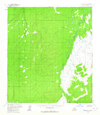
1954 · Medfra D-3
USGS Topo · 1:63,360
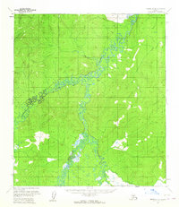
1954 · Medfra D-4
USGS Topo · 1:63,360

1955 · Medfra B-3
USGS Topo · 1:63,360

1958 · Medfra D-2
USGS Topo · 1:63,360

1958 · Medfra C-2
USGS Topo · 1:63,360

1958 · Medfra B-2
USGS Topo · 1:63,360

1959 · Medfra
USGS Topo · 1:250,000