
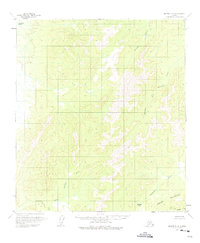
1958 Map of Medfra D-2
USGS Topo · Published 1964About this map
The Sischu Mountains dominate the southeastern corner of this Alaskan interior landscape, where the high ridges give way to a complex network of waterways during the late 1950s. The Sulukna River carves a path through the western half of the quadrangle, joined by the Browns Fork and drainage from Pass Creek. This map captures a remote wilderness defined by its hydrology, where the Sethkokna River and Telsitna River flow through the northern reaches.
Find a feature on this map
13 named features on this map. Tap any name to fly to it.
Don’t see what you’re looking for? This feature index may not catch every label — zoom into the map to look around manually.
Map Details
Editions of this 1958 Medfra D-2 Map
2 editions found
Other maps of this area

1950 · Medfra
USGS Topo · 1:250,000

1951 · Ruby
USGS Topo · 1:250,000

1952 · Ruby A-2
USGS Topo · 1:63,360

1952 · Ruby A-3
USGS Topo · 1:63,360

1952 · Ruby A-1
USGS Topo · 1:63,360

1952 · Ruby
USGS Topo · 1:250,000
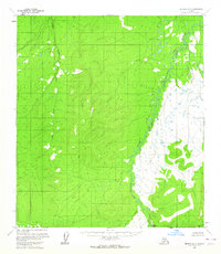
1954 · Medfra D-3
USGS Topo · 1:63,360

1954 · Medfra C-3
USGS Topo · 1:63,360

1958 · Medfra C-2
USGS Topo · 1:63,360

1958 · Medfra C-1
USGS Topo · 1:63,360