
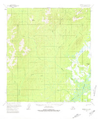
1958 Map of Medfra C-2
USGS Topo · Published 1964About this map
The Sischu Mountains dominate the northern terrain of this interior Alaska wilderness, giving way to a complex drainage system that feeds into the North Fork of the Kuskokwim River. Photogrammetric methods from 1952 and 1956 aerial photography reveal a landscape defined by its waterways, including the winding Hardscrabble Creek and Rungun Creek. Human presence is sparse but distinct, marked by small outposts like Stones Cabins and a lone Cabin situated along Stone Creek. A historical Winter Trail cuts through the northeast corner, illustrating the seasonal transportation network used before modern infrastructure. This 1958 field-annotated map provides a look at the region’s topography from Little Hog Butte to the braided river channels of the south, capturing the surveyor's record of land lines predetermined by the Bureau of Land Management in an era when much of this territory remained unmarked on the ground.
Find a feature on this map
24 named features on this map. Tap any name to fly to it.
Don’t see what you’re looking for? This feature index may not catch every label — zoom into the map to look around manually.
Map Details
Editions of this 1958 Medfra C-2 Map
2 editions found
Other maps of this area

1950 · Medfra
USGS Topo · 1:250,000
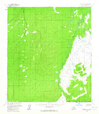
1954 · Medfra D-3
USGS Topo · 1:63,360

1954 · Medfra C-3
USGS Topo · 1:63,360

1955 · Medfra B-3
USGS Topo · 1:63,360

1958 · Medfra D-2
USGS Topo · 1:63,360

1958 · Medfra B-2
USGS Topo · 1:63,360

1958 · Medfra C-1
USGS Topo · 1:63,360

1958 · Medfra D-1
USGS Topo · 1:63,360

1958 · Medfra B-1
USGS Topo · 1:63,360

1959 · Medfra
USGS Topo · 1:250,000