
1958 Map of Medfra D-1
USGS Topo · Published 1964About this map
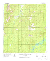
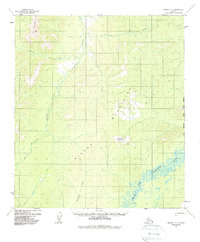
The North Fork Kuskokwim River defines the southeastern corner of this Alaskan wilderness, where it winds through low-lying marshlands and oxbow lakes. To the north and west, the terrain rises into the Sischu Mountains, a landscape dominated by peaks like Now Mountain and Dyckman Mountain. This mid-century survey captures a region largely untouched by permanent development, showing the essential relationship between high-altitude drainage and the river systems below.
Find a feature on this map
11 named features on this map. Tap any name to fly to it.
Don’t see what you’re looking for? This feature index may not catch every label — zoom into the map to look around manually.
Map Details
Editions of this 1958 Medfra D-1 Map
3 editions found
Other maps of this area

1948 · Kantishna River
USGS Topo · 1:250,000

1950 · Medfra
USGS Topo · 1:250,000

1951 · Kantishna River
USGS Topo · 1:250,000

1951 · Ruby
USGS Topo · 1:250,000

1952 · Mount McKinley
USGS Topo · 1:250,000

1952 · Ruby A-2
USGS Topo · 1:63,360

1952 · Ruby A-1
USGS Topo · 1:63,360

1952 · Kantishna River
USGS Topo · 1:250,000

1952 · Kantishna River A-6
USGS Topo · 1:63,360

1952 · Ruby
USGS Topo · 1:250,000