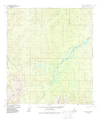
1954 Map of Medfra C-6
USGS Topo · Published 1988About this map
The Colorado Creek Mine and a neighboring Landing Strip anchor the western edge of this remote interior Alaskan landscape, surveyed during the mid-1950s. This region is defined by the winding course of the Susulatna River as it snakes through the center of the sheet toward the Innoko River to the north. A seasonal Summer Trail provides one of the few overland transit routes across the drainage basins of Creston Creek and Colorado Creek. The southern terrain is dominated by the Colorado Mountains and the Susulatna Hills, where high points such as VABM 3272 Cripple served as essential markers for surveyors. The presence of an isolated Cabin along the river suggests the scattered nature of human habitation in the territory at the time of the survey, where travel was dictated by seasonal water levels and creek valleys.
Find a feature on this map
23 named features on this map. Tap any name to fly to it.
Don’t see what you’re looking for? This feature index may not catch every label — zoom into the map to look around manually.
Map Details
Editions of this 1954 Medfra C-6 Map
3 editions found
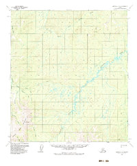
Other maps of this area

1950 · Medfra
USGS Topo · 1:250,000

1951 · Ophir
USGS Topo · 1:250,000

1953 · Medfra B-5
USGS Topo · 1:63,360

1954 · Medfra C-6
USGS Topo · 1:63,360

1954 · Medfra C-5
USGS Topo · 1:63,360

1954 · Medfra D-5
USGS Topo · 1:63,360

1954 · Medfra D-6
USGS Topo · 1:63,360

1954 · Medfra B-6
USGS Topo · 1:63,360
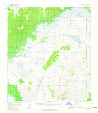
1954 · Ophir D-1
USGS Topo · 1:63,360

1954 · Ophir C-1
USGS Topo · 1:63,360