
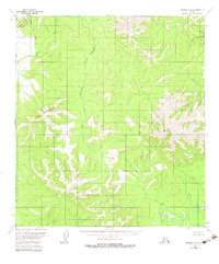
1954 Map of Medfra B-6
USGS Topo · Published 1964About this map
The Susulatna River winds through this interior Alaskan wilderness, dividing a landscape defined by sharp elevation shifts and expansive wetland drainages. This mid-century survey captures the region as it existed under the administration of the Bureau of Land Management, showing an area largely devoid of permanent human infrastructure or established roads. Notable peaks such as Fossil Mountain and Page Mountain anchor the central and eastern portions of the map, while the Cripple Mountains rise to the northwest. The drainage patterns are clearly defined by the Nixon Fork and the Agate Fork, illustrating the complex hydrological network of the Yukon-Koyukuk region. In the far northwest, the prominent landmark known as Butte stands near the headwaters of Cripple Creek and Folger Creek, marking a transition from the lower river valleys to higher upland terrain.
Find a feature on this map
9 named features on this map. Tap any name to fly to it.
Don’t see what you’re looking for? This feature index may not catch every label — zoom into the map to look around manually.
Map Details
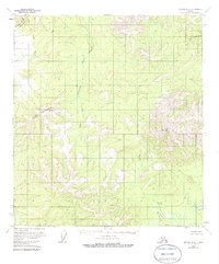
Editions of this 1954 Medfra B-6 Map
3 editions found
Other maps of this area

1950 · Medfra
USGS Topo · 1:250,000

1951 · Ophir
USGS Topo · 1:250,000

1953 · Medfra B-5
USGS Topo · 1:63,360

1954 · Medfra A-6
USGS Topo · 1:63,360

1954 · Medfra A-5
USGS Topo · 1:63,360

1954 · Ophir A-1
USGS Topo · 1:63,360

1954 · Medfra C-6
USGS Topo · 1:63,360

1954 · Medfra C-5
USGS Topo · 1:63,360

1954 · Ophir C-1
USGS Topo · 1:63,360

1954 · Ophir B-1
USGS Topo · 1:63,360