
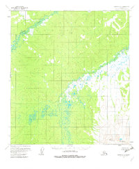
1954 Map of Medfra C-5
USGS Topo · Published 1963About this map
The Nowitna River and Susulatna River dominate this interior landscape, which was documented through aerial photography in the early to mid-1950s. The map represents a purely natural terrain, as the land lines were unsurveyed and unmarked at the time of publication, having been predetermined by the Bureau of Land Management. The topography is defined by the winding paths of these two major waterways and a complex network of small lakes and ponds scattered across the lowlands. This survey illustrates the wild character of the Yukon-Koyukuk region before any roads or permanent infrastructure reached this section of the interior, serving as a baseline for the hydrologic patterns and undisturbed landforms of the mid-twentieth century.
Find a feature on this map
2 named features on this map. Tap any name to fly to it.
Don’t see what you’re looking for? This feature index may not catch every label — zoom into the map to look around manually.
Map Details
Editions of this 1954 Medfra C-5 Map
3 editions found
Other maps of this area

1950 · Medfra
USGS Topo · 1:250,000

1953 · Medfra B-4
USGS Topo · 1:63,360

1953 · Medfra B-5
USGS Topo · 1:63,360

1953 · Medfra C-4
USGS Topo · 1:63,360

1954 · Medfra C-6
USGS Topo · 1:63,360

1954 · Medfra D-5
USGS Topo · 1:63,360

1954 · Medfra D-6
USGS Topo · 1:63,360

1954 · Medfra B-6
USGS Topo · 1:63,360
1954 · Medfra D-4
USGS Topo · 1:63,360

1959 · Medfra
USGS Topo · 1:250,000