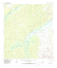
1954 Map of Medfra C-5
USGS Topo · Published 1988About this map
The Susulatna River winds through the northwestern corner of this interior Alaskan landscape, which was photogrammetrically surveyed in the mid-1950s. The terrain is defined by a dense network of drainage and muskeg, with the Nowitna River branching across the central and eastern sections. In the southeast, the topography rises sharply into the Sunshine Mountains, providing a stark contrast to the surrounding water-logged lowlands. This survey reflects a wilderness state before any established road or trail infrastructure was recorded, showing an intricate natural drainage pattern that dictates the character of this subarctic environment. The map captures the area exactly as it appeared when field annotated in 1954, serving as a primary record of the land prior to modern development or naming of smaller geographic features.
Find a feature on this map
3 named features on this map. Tap any name to fly to it.
Don’t see what you’re looking for? This feature index may not catch every label — zoom into the map to look around manually.
Map Details
Editions of this 1954 Medfra C-5 Map
3 editions found
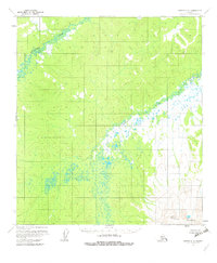
Other maps of this area

1950 · Medfra
USGS Topo · 1:250,000

1953 · Medfra B-4
USGS Topo · 1:63,360

1953 · Medfra B-5
USGS Topo · 1:63,360

1953 · Medfra C-4
USGS Topo · 1:63,360

1954 · Medfra C-6
USGS Topo · 1:63,360

1954 · Medfra C-5
USGS Topo · 1:63,360

1954 · Medfra D-5
USGS Topo · 1:63,360

1954 · Medfra D-6
USGS Topo · 1:63,360

1954 · Medfra B-6
USGS Topo · 1:63,360
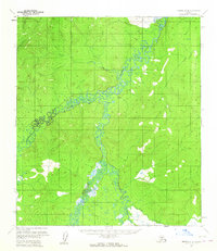
1954 · Medfra D-4
USGS Topo · 1:63,360