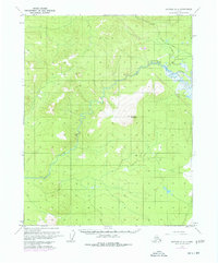
1970 Map of Bettles B-2
USGS Topo · Published 1977About this map
Kanuti River winds through this Interior Alaska landscape, a region defined by its isolation and the emergence of massive infrastructure projects in the mid-1970s. The topographic detail reflects a pivotal moment when The Trans-Alaska Pipeline was first being established across the wilderness, with sections noted as under construction and accompanied by the The Trans-Alaska Pipeline (Road). These modern corridors contrast sharply with the older, ephemeral transportation routes like the Winter Road that cuts across the northern terrain.
Find a feature on this map
8 named features on this map. Tap any name to fly to it.
Don’t see what you’re looking for? This feature index may not catch every label — zoom into the map to look around manually.
Map Details
Editions of this 1970 Bettles B-2 Map
2 editions found
Other maps of this area

1951 · Bettles
USGS Topo · 1:250,000

1956 · Bettles
USGS Topo · 1:250,000
1970 · Bettles A-3
USGS Topo · 1:63,360

1970 · Bettles B-2
USGS Topo · 1:63,360
1970 · Bettles B-3
USGS Topo · 1:63,360
1970 · Bettles C-1
USGS Topo · 1:63,360

1970 · Bettles C-2
USGS Topo · 1:63,360
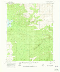
1970 · Bettles B-1
USGS Topo · 1:63,360
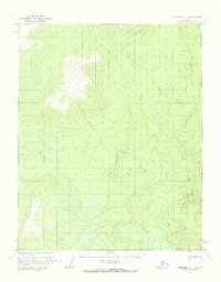
1970 · Bettles A-1
USGS Topo · 1:63,360
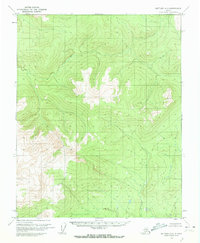
1970 · Bettles A-2
USGS Topo · 1:63,360