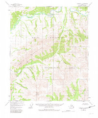
1951 Map of Livengood C-1
USGS Topo · Published 1982About this map
The White Mountains dominate this 1951 topographic survey of the Alaskan interior, a landscape of high ridges and winding waterways as it appeared before the formal establishment of the White Mountains National Recreation Area. The northern reach of the map is defined by the broad curves of Beaver Creek, while the southern terrain rises sharply toward Cache Mountain. This area is characterized by its complex drainage network, where names like Lost Horizon Creek and Brachiopod Gulch suggest the geological and paleontological interests of early surveyors. Landforms such as Windy Arch and Windy Gap provide distinct navigational landmarks in a region largely devoid of established roads or permanent settlements at the time of the original photography. The map captures the raw, unsurveyed character of the Fairbanks Meridian, providing a detailed record of the drainage patterns of Willow Creek and Sheep Creek.
Find a feature on this map
17 named features on this map. Tap any name to fly to it.
Don’t see what you’re looking for? This feature index may not catch every label — zoom into the map to look around manually.
Map Details
Editions of this 1951 Livengood C-1 Map
3 editions found
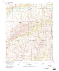
Other maps of this area

1945 · Livengood
USGS Topo · 1:250,000

1951 · Livengood
USGS Topo · 1:250,000

1951 · Circle
USGS Topo · 1:250,000

1951 · Circle D-6
USGS Topo · 1:63,360

1951 · Livengood C-2
USGS Topo · 1:63,360

1951 · Livengood C-1
USGS Topo · 1:63,360

1951 · Circle C-6
USGS Topo · 1:63,360

1951 · Livengood B-2
USGS Topo · 1:63,360

1952 · Livengood D-2
USGS Topo · 1:63,360

1952 · Livengood D-1
USGS Topo · 1:63,360