
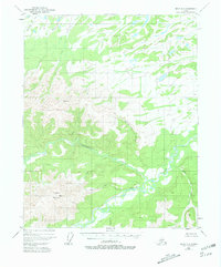
1951 Map of Circle D-6
USGS Topo · Published 1964About this map
Victoria Mountain anchors the southwestern quadrant of this 1951 aerial survey, where the drainages of the Yukon-Koyukuk region form a complex network of meandering waterways. The topography is defined by the significant confluence of Victoria Creek and Beaver Creek, with the latter winding through expansive lowlands characterized by seasonal swamps and smaller tributaries like Sand Creek and Yellow Creek. Human presence is exceptionally sparse in this interior landscape, marked only by a solitary Cabin located north of Glacier Creek. This document serves as a detailed study of a remote watershed before significant modern development, capturing the natural drainage patterns of the Moose Creek and Big Creek systems as they appeared in the early 1950s.
Find a feature on this map
11 named features on this map. Tap any name to fly to it.
Don’t see what you’re looking for? This feature index may not catch every label — zoom into the map to look around manually.
Map Details
Editions of this 1951 Circle D-6 Map
2 editions found
Other maps of this area

1945 · Livengood
USGS Topo · 1:250,000

1951 · Fort Yukon
USGS Topo · 1:250,000

1951 · Livengood
USGS Topo · 1:250,000

1951 · Beaver
USGS Topo · 1:250,000

1951 · Circle
USGS Topo · 1:250,000

1951 · Livengood C-1
USGS Topo · 1:63,360

1951 · Circle C-6
USGS Topo · 1:63,360

1952 · Livengood D-1
USGS Topo · 1:63,360

1952 · Circle D-5
USGS Topo · 1:63,360

1952 · Circle C-5
USGS Topo · 1:63,360