
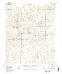
1951 Map of Circle C-6
USGS Topo · Published 1972About this map
Lime Peak and the high summit of VABM Mascot 5062 anchor this interior Alaska landscape, defining a high-elevation drainage system surveyed in the early 1950s. The region is characterized by an intricate network of waterways, with the prominent Beaver Creek flowing across the northern reach. Several smaller tributaries, including Mascot Creek, Yellow Creek, and Warren Creek, carve through the terrain, suggesting the complex hydrologic patterns of the Yukon-Koyukuk region before significant modern development.
Find a feature on this map
11 named features on this map. Tap any name to fly to it.
Don’t see what you’re looking for? This feature index may not catch every label — zoom into the map to look around manually.
Map Details
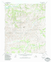
Editions of this 1951 Circle C-6 Map
3 editions found
Other maps of this area

1945 · Livengood
USGS Topo · 1:250,000

1951 · Livengood
USGS Topo · 1:250,000

1951 · Circle
USGS Topo · 1:250,000

1951 · Circle D-6
USGS Topo · 1:63,360

1951 · Livengood C-1
USGS Topo · 1:63,360

1952 · Livengood D-1
USGS Topo · 1:63,360

1952 · Circle D-5
USGS Topo · 1:63,360

1952 · Circle C-5
USGS Topo · 1:63,360

1954 · Circle C-5
USGS Topo · 1:63,360

1954 · Circle B-6
USGS Topo · 1:63,360