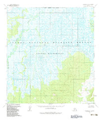
1954 Map of Iditarod D-5
USGS Topo · Published 1983About this map
The Iditarod River meanders through the northeast corner of this interior Alaskan landscape, a region defined by an intricate network of wetlands and river drainage. To the west, the Yetna River and Little Yetna River carve through low-lying terrain characterized by countless small ponds and oxbows. This 1954 topographic survey captures the area's natural state, prior to the formal establishment of conservation boundaries that would later define the Innoko National Wildlife Refuge and the Innoko Wilderness. The topography transitions from the wet, marshy lowlands of the river basins to more defined elevations in the southeast. With no roads or trails indicated on the sheet, the map documents a period when access was dictated entirely by the waterways and the Seward Meridian survey lines.
Find a feature on this map
6 named features on this map. Tap any name to fly to it.
Don’t see what you’re looking for? This feature index may not catch every label — zoom into the map to look around manually.
Map Details
Editions of this 1954 Iditarod D-5 Map
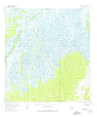
3 editions found
Other maps of this area

1951 · Ophir
USGS Topo · 1:250,000

1951 · Iditarod
USGS Topo · 1:250,000

1954 · Ophir A-6
USGS Topo · 1:63,360

1954 · Iditarod D-6
USGS Topo · 1:63,360

1954 · Iditarod C-4
USGS Topo · 1:63,360

1954 · Ophir A-5
USGS Topo · 1:63,360

1954 · Iditarod C-5
USGS Topo · 1:63,360
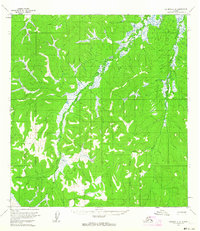
1954 · Iditarod C-6
USGS Topo · 1:63,360

1954 · Iditarod D-5
USGS Topo · 1:63,360

1954 · Ophir A-4
USGS Topo · 1:63,360