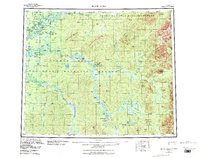
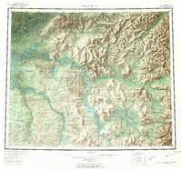
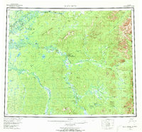
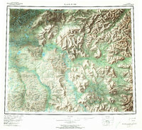
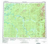
1956 Map of Black River
USGS Topo · Published 1987About this map
Yukon Flats dominate the interior of this subarctic landscape, where the Arctic Circle bisects a vast network of sloughs, lakes, and seasonal wetlands. Remote settlements such as Chalkyitsik and John Herberts Village appear as isolated hubs of human activity along the winding waterways. The mapping reveals a distinct transition from the dense hydrological complexity of the flats to the prominent rises of Frozen Calf Mountain and Negrohead Mountain in the north.
Find a feature on this map
82 named features on this map. Tap any name to fly to it.
Don’t see what you’re looking for? This feature index may not catch every label — zoom into the map to look around manually.
Map Details
Editions of this 1956 Black River Map
9 editions found

Other maps of this area

1951 · Fort Yukon
USGS Topo · 1:250,000

1951 · Charley River
USGS Topo · 1:250,000

1951 · Black River
USGS Topo · 1:250,000

1951 · Coleen
USGS Topo · 1:250,000

1951 · Christian
USGS Topo · 1:250,000

1951 · Circle
USGS Topo · 1:250,000

1955 · Circle D-1
USGS Topo · 1:63,360

1955 · Circle
USGS Topo · 1:250,000

1956 · Coleen
USGS Topo · 1:250,000

1956 · Fort Yukon C-1
USGS Topo · 1:63,360