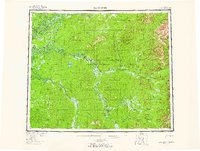
1956 Map of Black River
USGS Topo · Published 1965About this map
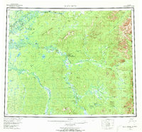
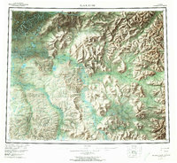
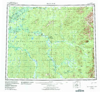
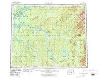
John Herberts Village and Salmon Village sit along the high northern waterways of this interior Alaskan landscape, where the Arctic Circle bisects a network of rivers and sloughs. This mid-1950s survey captures a region defined by seasonal water patterns and traditional river navigation, featuring the wide curves of the Porcupine River and the complex drainage of the Black River. The map documents localized hubs of activity like John Roberts Cabin and Doghouse Cabin, which served as vital landmarks in the roadless wilderness. The terrain is punctuated by distinctive peaks such as Frozen Calf Mountain, Steamboat Mountain, and Vacahanyande Mountain, which rise above a vast expanse of muskeg, sloughs like Rotten Fish Slough, and numerous named water bodies including Cow and Calf Moose Lake. Along the eastern margin, the United States Canada border marks the transition toward the Yukon territory.
Find a feature on this map
73 named features on this map. Tap any name to fly to it.
Don’t see what you’re looking for? This feature index may not catch every label — zoom into the map to look around manually.
Map Details
Editions of this 1956 Black River Map
9 editions found

Other maps of this area

1951 · Fort Yukon
USGS Topo · 1:250,000

1951 · Charley River
USGS Topo · 1:250,000

1951 · Black River
USGS Topo · 1:250,000

1951 · Coleen
USGS Topo · 1:250,000

1951 · Christian
USGS Topo · 1:250,000

1951 · Circle
USGS Topo · 1:250,000

1955 · Circle D-1
USGS Topo · 1:63,360

1955 · Circle
USGS Topo · 1:250,000

1956 · Coleen
USGS Topo · 1:250,000

1956 · Fort Yukon C-1
USGS Topo · 1:63,360