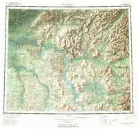
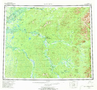
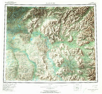
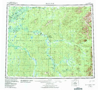
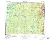
1956 Map of Black River
USGS Topo · Published 1965About this map
Salmon Village and John Herberts Village sit along the winding watercourses of the interior during the mid-1950s, a period when the landscape was defined by seasonal subsistence and remote outposts. The Porcupine River dominates the northern reaches, while the Black River and its myriad tributaries like Rock Slough and Goose Slough create a complex network of wetlands and oxbow lakes. These waterways were essential for travel in an area where the only terrestrial infrastructure was a lone Tractor Trail cutting through the brush.
Find a feature on this map
85 named features on this map. Tap any name to fly to it.
Don’t see what you’re looking for? This feature index may not catch every label — zoom into the map to look around manually.
Map Details
Editions of this 1956 Black River Map
9 editions found

Other maps of this area

1951 · Fort Yukon
USGS Topo · 1:250,000

1951 · Charley River
USGS Topo · 1:250,000

1951 · Black River
USGS Topo · 1:250,000

1951 · Coleen
USGS Topo · 1:250,000

1951 · Christian
USGS Topo · 1:250,000

1951 · Circle
USGS Topo · 1:250,000

1955 · Circle D-1
USGS Topo · 1:63,360

1955 · Circle
USGS Topo · 1:250,000

1956 · Coleen
USGS Topo · 1:250,000

1956 · Fort Yukon C-1
USGS Topo · 1:63,360