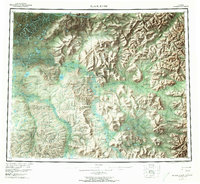
1956 Map of Black River
USGS Topo · Published 1973About this map
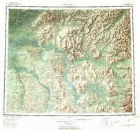
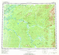
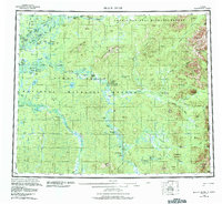
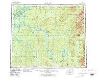
Salmon Village and its predecessor, Old Salmon Village, occupy the central landscape of this interior Alaska territory where the Salmon Fork meets the Black River. The map documents a sparse but vital network of Gwich'in settlements and seasonal camps along the river systems, including Chalkyitsik and John Herberts Village. Further upstream, isolated outposts like Doghouse Cabin and John Roberts Cabin mark the human presence in a landscape defined by prominent massifs such as Frozen Calf Mountain and Negrohead Mountain. The complex water system of the Porcupine River dominates the northern sector, featuring the Ramparts and Deaconis Rock. A single Tractor Trail provides the only mapped overland route through this river-and-mountain geography during the mid-1950s.
Find a feature on this map
71 named features on this map. Tap any name to fly to it.
Don’t see what you’re looking for? This feature index may not catch every label — zoom into the map to look around manually.
Map Details
Editions of this 1956 Black River Map
9 editions found

Other maps of this area

1951 · Fort Yukon
USGS Topo · 1:250,000

1951 · Charley River
USGS Topo · 1:250,000

1951 · Black River
USGS Topo · 1:250,000

1951 · Coleen
USGS Topo · 1:250,000

1951 · Christian
USGS Topo · 1:250,000

1951 · Circle
USGS Topo · 1:250,000

1955 · Circle D-1
USGS Topo · 1:63,360

1955 · Circle
USGS Topo · 1:250,000

1956 · Coleen
USGS Topo · 1:250,000

1956 · Fort Yukon C-1
USGS Topo · 1:63,360