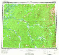
1956 Map of Black River
USGS Topo · Published 1965About this map
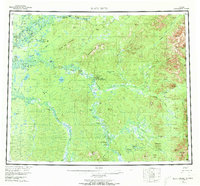
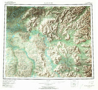
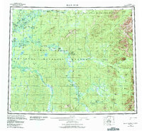
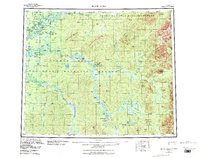
The Porcupine River and Black River define this subarctic expanse where the Arctic Circle cuts across the landscape near Salmon Village. In the mid-1950s, this region remained a network of seasonal camps, cabins, and small riverside settlements. Trace the locations of isolated outposts like Joe Ward Camp, Shuman House, and John Roberts Cabin which are scattered along the major waterways and their tributaries. The terrain transitions from the low-lying Rotten Fish Slough and Salmon Slough to prominent high points such as Frozen Calf Mountain and Steamboat Mountain. Notable for its Indigenous and early settler history, the map documents remote clusters like John Herberts Village and Chalkyitsik during an era before significant modern infrastructure reached this corner of the Yukon-Koyukuk. The survey captures a vast hydrological system including the Little Black River and the braided channels of the Grayling Fork leading toward the Canadian border.
Find a feature on this map
76 named features on this map. Tap any name to fly to it.
Don’t see what you’re looking for? This feature index may not catch every label — zoom into the map to look around manually.
Map Details
Editions of this 1956 Black River Map
9 editions found

Other maps of this area

1951 · Fort Yukon
USGS Topo · 1:250,000

1951 · Charley River
USGS Topo · 1:250,000

1951 · Black River
USGS Topo · 1:250,000

1951 · Coleen
USGS Topo · 1:250,000

1951 · Christian
USGS Topo · 1:250,000

1951 · Circle
USGS Topo · 1:250,000

1955 · Circle D-1
USGS Topo · 1:63,360

1955 · Circle
USGS Topo · 1:250,000

1956 · Coleen
USGS Topo · 1:250,000

1956 · Fort Yukon C-1
USGS Topo · 1:63,360