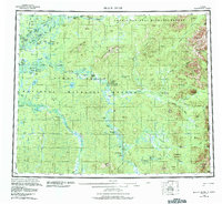
1956 Map of Black River
USGS Topo · Published 1984About this map
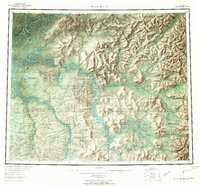
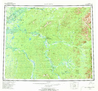
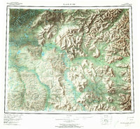
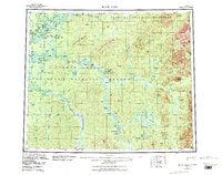
The Porcupine River and Black River meander through a labyrinth of lakes and sloughs in this 1956 survey of the northeastern Alaskan interior. This remote landscape, crossing the Arctic Circle, is characterized by the expansive wetlands of the Yukon Flats and the transition into higher ground at Frozen Calf Mountain and Steamboat Mountain. Human presence is marked by small settlements such as Chalkyitsik, Salmon Village, and John Herberts Village, alongside more isolated landmarks like the Doghouse Cabin and Joe Ward Camp. The map documents a period before modern infrastructure, where the Chalkyitsik Landing Strip and river corridors like the Little Black River served as primary conduits for travel. The international boundary at the eastern edge separates the wilderness of the Arctic National Wildlife Refuge from the Yukon Territory in Canada.
Find a feature on this map
89 named features on this map. Tap any name to fly to it.
Don’t see what you’re looking for? This feature index may not catch every label — zoom into the map to look around manually.
Map Details
Editions of this 1956 Black River Map
9 editions found

Other maps of this area

1951 · Fort Yukon
USGS Topo · 1:250,000

1951 · Charley River
USGS Topo · 1:250,000

1951 · Black River
USGS Topo · 1:250,000

1951 · Coleen
USGS Topo · 1:250,000

1951 · Christian
USGS Topo · 1:250,000

1951 · Circle
USGS Topo · 1:250,000

1955 · Circle D-1
USGS Topo · 1:63,360

1955 · Circle
USGS Topo · 1:250,000

1956 · Coleen
USGS Topo · 1:250,000

1956 · Fort Yukon C-1
USGS Topo · 1:63,360