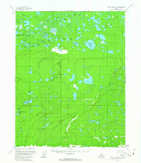
1956 Map of Fort Yukon A-6
USGS Topo · Published 1963About this map
Swede Boys Camp stands as a lonely point of human activity within this 1950s interior Alaskan wilderness, surrounded by a complex network of wetlands and thermokarst lakes. The northern reach of the map is defined by the wandering course of Beaver Creek, where drainage patterns like Long Slough and Jefferson Creek feed into a mosaic of named waters including Loon Lakes, Abraham Lake, and Ninemile Lake.
Find a feature on this map
33 named features on this map. Tap any name to fly to it.
Don’t see what you’re looking for? This feature index may not catch every label — zoom into the map to look around manually.
Map Details
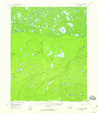
Editions of this 1956 Fort Yukon A-6 Map
2 editions found
Other maps of this area

1945 · Livengood
USGS Topo · 1:250,000

1951 · Fort Yukon
USGS Topo · 1:250,000

1951 · Livengood
USGS Topo · 1:250,000

1951 · Beaver
USGS Topo · 1:250,000

1951 · Circle
USGS Topo · 1:250,000

1951 · Circle D-6
USGS Topo · 1:63,360

1952 · Livengood D-1
USGS Topo · 1:63,360

1952 · Circle D-5
USGS Topo · 1:63,360

1954 · Circle D-5
USGS Topo · 1:63,360

1954 · Circle D-6
USGS Topo · 1:63,360