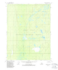
1956 Map of Coleen A-6
USGS Topo · Published 1988About this map
Yukon Flats dominates this mid-century topographic record, revealing a landscape defined by an intricate network of wetlands and hydrologic features. The area is characterized by the meandering path of Chandalar Creek, which threads through numerous unnamed ponds and sloughs that typify this interior Alaskan basin. The designation of the National Wildlife Refuge reflects the significant ecological preservation of this region, which remains largely void of permanent human infrastructure. Local hydrography is further detailed through named water bodies such as Big Rat Lake and Mink Lake, providing specific points of reference for researchers studying the historical drainage patterns and migratory habitat of the Yukon River watershed before more recent environmental shifts.
Find a feature on this map
5 named features on this map. Tap any name to fly to it.
Don’t see what you’re looking for? This feature index may not catch every label — zoom into the map to look around manually.
Map Details
Editions of this 1956 Coleen A-6 Map
3 editions found
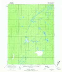
Other maps of this area

1951 · Fort Yukon
USGS Topo · 1:250,000

1951 · Black River
USGS Topo · 1:250,000

1951 · Coleen
USGS Topo · 1:250,000

1951 · Christian
USGS Topo · 1:250,000

1956 · Coleen
USGS Topo · 1:250,000

1956 · Black River D-6
USGS Topo · 1:63,360

1956 · Coleen A-5
USGS Topo · 1:63,360

1956 · Black River D-5
USGS Topo · 1:63,360
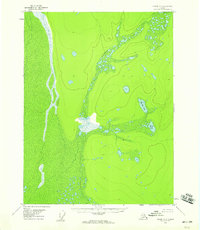
1956 · Coleen A-6
USGS Topo · 1:63,360
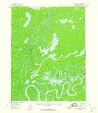
1956 · Fort Yukon D-1
USGS Topo · 1:63,360