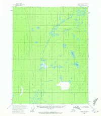
1956 Map of Coleen A-6
USGS Topo · Published 1972About this map
Chandalar Creek defines the central axis of this interior Alaskan wilderness, as mapped from 1955 aerial photography. The terrain is characterized by a complex network of glacial thaw lakes and wetlands within the Fairbanks Meridian, appearing here during the mid-1950s. While most of the map depicts unsurveyed and unmarked land lines as determined by the Bureau of Land Management, notable bodies of water including Big Rat Lake and Mink Lake serve as the primary landmarks in an otherwise feature-sparse landscape. The map provides a precise record of the hydrological patterns of the northern drainage basin, showing the meandering path of the creek and the dense cluster of unnamed ponds that populate the region between the Porcupine and Coleen River systems.
Find a feature on this map
3 named features on this map. Tap any name to fly to it.
Don’t see what you’re looking for? This feature index may not catch every label — zoom into the map to look around manually.
Map Details
Editions of this 1956 Coleen A-6 Map
3 editions found
Other maps of this area

1951 · Fort Yukon
USGS Topo · 1:250,000

1951 · Black River
USGS Topo · 1:250,000

1951 · Coleen
USGS Topo · 1:250,000

1951 · Christian
USGS Topo · 1:250,000

1956 · Coleen
USGS Topo · 1:250,000

1956 · Black River D-6
USGS Topo · 1:63,360

1956 · Coleen A-5
USGS Topo · 1:63,360

1956 · Black River D-5
USGS Topo · 1:63,360
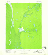
1956 · Coleen A-6
USGS Topo · 1:63,360
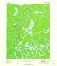
1956 · Fort Yukon D-1
USGS Topo · 1:63,360