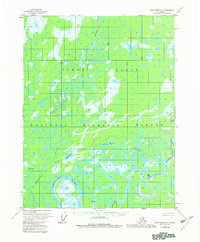
1956 Map of Fort Yukon D-1
USGS Topo · Published 1982About this map
The Yukon Flats dominate this landscape, where a complex network of meandering waterways and seasonal wetlands define the interior. The Porcupine River and Sheenjek River serve as the primary geographical anchors, carving through the terrain with dramatic loops like Bootleg Bend. The map documents a sparsely settled wilderness where human presence is marked only by isolated outposts such as Carls Cabin and a generic Cabin near the river banks.
Find a feature on this map
18 named features on this map. Tap any name to fly to it.
Don’t see what you’re looking for? This feature index may not catch every label — zoom into the map to look around manually.
Map Details
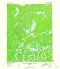
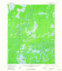
Editions of this 1956 Fort Yukon D-1 Map
3 editions found
Other maps of this area

1951 · Fort Yukon
USGS Topo · 1:250,000

1951 · Black River
USGS Topo · 1:250,000

1951 · Coleen
USGS Topo · 1:250,000

1951 · Christian
USGS Topo · 1:250,000

1952 · Fort Yukon C-2
USGS Topo · 1:63,360

1955 · Fort Yukon D-2
USGS Topo · 1:63,360

1956 · Coleen
USGS Topo · 1:250,000

1956 · Fort Yukon C-1
USGS Topo · 1:63,360

1956 · Black River D-6
USGS Topo · 1:63,360

1956 · Black River C-6
USGS Topo · 1:63,360