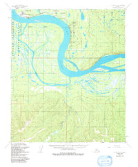
1953 Map of Nulato C-2
USGS Topo · Published 1991About this map
The Yukon River dominates this interior Alaskan landscape, carving a wide arc through the terrain during the early 1950s. The settlement of Galena sits at a strategic bend, anchored by the Galena Airport and a designated Air Force Reservation. Further east, the Campion Air Force Station and its adjacent Landing Strip represent a Cold War-era military footprint along the river's edge.
Find a feature on this map
20 named features on this map. Tap any name to fly to it.
Don’t see what you’re looking for? This feature index may not catch every label — zoom into the map to look around manually.
Map Details
Editions of this 1953 Nulato C-2 Map
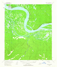
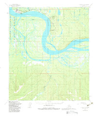
3 editions found
Other maps of this area

1945 · Nulato
USGS Topo · 1:250,000

1951 · Nulato
USGS Topo · 1:250,000

1952 · Nulato C-1
USGS Topo · 1:63,360

1952 · Nulato D-1
USGS Topo · 1:63,360

1952 · Nulato D-3
USGS Topo · 1:63,360

1952 · Nulato B-2
USGS Topo · 1:63,360

1952 · Nulato B-1
USGS Topo · 1:63,360

1952 · Nulato C-3
USGS Topo · 1:63,360

1952 · Nulato C-2
USGS Topo · 1:63,360

1952 · Nulato D-2
USGS Topo · 1:63,360