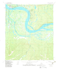
1953 Map of Nulato C-2
USGS Topo · Published 1983About this map
Galena sits along the northern bank of the Yukon River at a significant bend in the waterway where the Galena Air Force Station and Galena Airport dominate the local infrastructure. This 1950s landscape reveals the strategic importance of the interior during the early Cold War, with the Galena Air Force Reservation established amidst the complex network of river channels. The terrain is characterized by intricate water systems, including Kala Slough and Louden Slough, which bypass large landmasses like Hartnet I and Fish Island. To the east, the settlement of Louden is situated near the Bessy Slough, while the western edge of the map identifies the Innoko National Wildlife Refuge. The presence of Cabins and a Cem near the riverbanks suggests a history of seasonal use and long-standing habitation tied to the river's resources.
Find a feature on this map
24 named features on this map. Tap any name to fly to it.
Don’t see what you’re looking for? This feature index may not catch every label — zoom into the map to look around manually.
Map Details
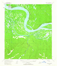
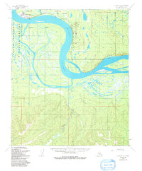
Editions of this 1953 Nulato C-2 Map
3 editions found
Other maps of this area

1945 · Nulato
USGS Topo · 1:250,000

1951 · Nulato
USGS Topo · 1:250,000

1952 · Nulato C-1
USGS Topo · 1:63,360

1952 · Nulato D-1
USGS Topo · 1:63,360

1952 · Nulato D-3
USGS Topo · 1:63,360

1952 · Nulato B-2
USGS Topo · 1:63,360

1952 · Nulato B-1
USGS Topo · 1:63,360

1952 · Nulato C-3
USGS Topo · 1:63,360

1952 · Nulato C-2
USGS Topo · 1:63,360

1952 · Nulato D-2
USGS Topo · 1:63,360