
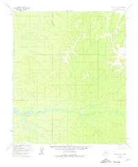
1952 Map of Nulato D-1
USGS Topo · Published 1957About this map
Bear Creek dominates the southern landscape of this interior Alaskan territory, its braided channel and surrounding wetlands forming a wide alluvial plain across the center of the sheet. Based on aerial photography from 1952, the map illustrates the complex drainage patterns of a region defined by high-elevation summits and deep, narrow valleys. One such prominent peak is marked as VABM Bald 3274, a triangulation station used by the U.S. Geological Survey to establish precise topographic control in this remote portion of the Fourth Judicial Division. The lack of roads or trails during this era highlights the reliance on natural waterways for movement through the Yukon-Koyukuk region before significant modern development reached these higher latitudes.
Find a feature on this map
3 named features on this map. Tap any name to fly to it.
Don’t see what you’re looking for? This feature index may not catch every label — zoom into the map to look around manually.
Map Details
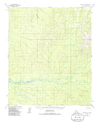
Editions of this 1952 Nulato D-1 Map
3 editions found
Other maps of this area

1945 · Nulato
USGS Topo · 1:250,000

1951 · Nulato
USGS Topo · 1:250,000

1951 · Ruby
USGS Topo · 1:250,000

1951 · Kateel River
USGS Topo · 1:250,000

1951 · Melozitna
USGS Topo · 1:250,000

1952 · Nulato C-1
USGS Topo · 1:63,360

1952 · Kateel River A-2
USGS Topo · 1:63,360

1952 · Ruby D-6
USGS Topo · 1:63,360

1952 · Kateel River A-1
USGS Topo · 1:63,360

1952 · Nulato C-2
USGS Topo · 1:63,360