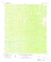
1952 Map of Nulato D-1
USGS Topo · Published 1976About this map
Hottahkalna Creek winds through the northern drainage of this interior landscape, illustrating the remote hydrological patterns mapped by the Geological Survey during the early 1950s. The terrain is defined by its watercourses and elevation markers, including the meandering Bear Creek which dominates the southern half of the quadrangle. A prominent survey point, VABM Beta 3274, stands as a primary landmark in the eastern hills. This 1952 study, with minor revisions made in the mid-1970s, captures a wilderness area before significant modern development, focusing on the natural topography and the intricate network of seasonal streams and marshes common to the Yukon-Koyukuk region.
Find a feature on this map
4 named features on this map. Tap any name to fly to it.
Don’t see what you’re looking for? This feature index may not catch every label — zoom into the map to look around manually.
Map Details
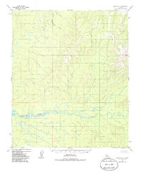
Editions of this 1952 Nulato D-1 Map
3 editions found
Other maps of this area

1945 · Nulato
USGS Topo · 1:250,000

1951 · Nulato
USGS Topo · 1:250,000

1951 · Ruby
USGS Topo · 1:250,000

1951 · Kateel River
USGS Topo · 1:250,000

1951 · Melozitna
USGS Topo · 1:250,000

1952 · Nulato C-1
USGS Topo · 1:63,360

1952 · Nulato D-1
USGS Topo · 1:63,360

1952 · Kateel River A-2
USGS Topo · 1:63,360

1952 · Ruby D-6
USGS Topo · 1:63,360

1952 · Kateel River A-1
USGS Topo · 1:63,360