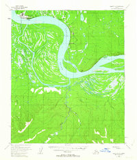
1953 Map of Nulato C-2
USGS Topo · Published 1963About this map
The Yukon River carves a massive arc through this subarctic interior, defining a landscape of complex waterways and seasonal floodplains. Near the river's northern bend, the Galena Air Force Base Auxiliary Field serves as a critical strategic outpost, marked by its Landing Strip and proximity to the settlement of Galena. The surrounding lowlands are a dense network of active and former channels, including Kala Slough and Bessy Slough, which separate the mainland from substantial landforms like Fish Island.
Find a feature on this map
22 named features on this map. Tap any name to fly to it.
Don’t see what you’re looking for? This feature index may not catch every label — zoom into the map to look around manually.
Map Details
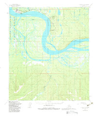
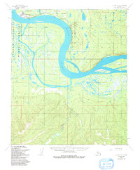
Editions of this 1953 Nulato C-2 Map
3 editions found
Other maps of this area

1945 · Nulato
USGS Topo · 1:250,000

1951 · Nulato
USGS Topo · 1:250,000

1952 · Nulato C-1
USGS Topo · 1:63,360

1952 · Nulato D-1
USGS Topo · 1:63,360

1952 · Nulato D-3
USGS Topo · 1:63,360

1952 · Nulato B-2
USGS Topo · 1:63,360

1952 · Nulato B-1
USGS Topo · 1:63,360

1952 · Nulato C-3
USGS Topo · 1:63,360

1952 · Nulato C-2
USGS Topo · 1:63,360

1952 · Nulato D-2
USGS Topo · 1:63,360