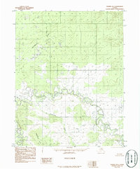
1986 Map of Hughes B-5
USGS Topo · Published 1986About this map
The Continental Divide winds across the high terrain of this Alaskan interior landscape, separating the drainage systems of the north from the river valleys to the south. The Hogatza River dominates the lower half of the quadrangle, exhibiting a complex, meandering path through low-lying marshlands and meadows. This hydrological pattern indicates a slow-moving, mature river system that creates a labyrinth of oxbows and seasonal wetlands. In the southern reaches, the Babantaltlin Hills rise above the basin, with Babantaltlin Creek and the Pah River feeding into the wider watershed. The lack of roads or established settlements on this mid-1980s provisional sheet underscores the isolation of the Yukon-Koyukuk region, where the primary geographical landmarks are the watercourses and significant elevation shifts of the divide.
Find a feature on this map
5 named features on this map. Tap any name to fly to it.
Don’t see what you’re looking for? This feature index may not catch every label — zoom into the map to look around manually.
Map Details
Editions of this 1986 Hughes B-5 Map
This is the sole edition of this map. No revisions or reprints were ever made.
Other maps of this area

1951 · Hughes
USGS Topo · 1:250,000

1956 · Hughes
USGS Topo · 1:250,000

1964 · Hughes
USGS Topo · 1:250,000

1965 · Hughes
USGS Topo · 1:250,000
1986 · Hughes A-6
USGS Topo · 1:63,360
1986 · Hughes B-4
USGS Topo · 1:63,360
1986 · Hughes A-5
USGS Topo · 1:63,360
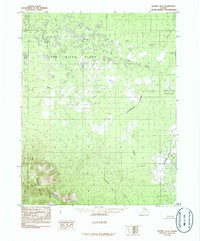
1986 · Hughes B-6
USGS Topo · 1:63,360
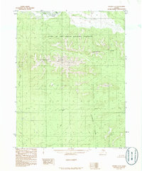
1986 · Hughes C-5
USGS Topo · 1:63,360
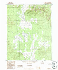
1986 · Hughes C-4
USGS Topo · 1:63,360