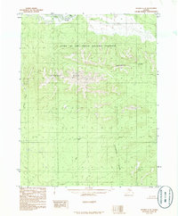
1986 Map of Hughes C-5
USGS Topo · Published 1986About this map
Gates of the Arctic National Preserve dominates the upper half of this subarctic landscape, where the Lockwood Hills rise against the Continental Divide. The northern reach of the map is defined by the winding course of the Kobuk River, featuring Bear Island as a central landmark in the current. This 1986 provisional survey captures the wilderness in its natural state, showing the convergence of drainage systems including Asiksat Creek and the Pah River. To the southeast, the terrain transitions at a significant Portage, a traditional point of transit through the high country. The map illustrates a region devoid of roads or permanent settlements, focusing instead on the complex topography and hydrological patterns of the Alaskan interior during the late twentieth century.
Find a feature on this map
12 named features on this map. Tap any name to fly to it.
Don’t see what you’re looking for? This feature index may not catch every label — zoom into the map to look around manually.
Map Details
Editions of this 1986 Hughes C-5 Map
This is the sole edition of this map. No revisions or reprints were ever made.
Other maps of this area

1951 · Hughes
USGS Topo · 1:250,000

1956 · Hughes
USGS Topo · 1:250,000

1964 · Hughes
USGS Topo · 1:250,000

1965 · Hughes
USGS Topo · 1:250,000
1986 · Hughes B-4
USGS Topo · 1:63,360
1986 · Hughes D-5
USGS Topo · 1:63,360
1986 · Hughes B-5
USGS Topo · 1:63,360
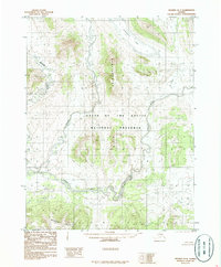
1986 · Hughes D-4
USGS Topo · 1:63,360
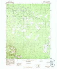
1986 · Hughes B-6
USGS Topo · 1:63,360
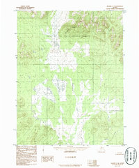
1986 · Hughes C-4
USGS Topo · 1:63,360