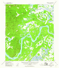
1954 Map of Fairbanks D-6
USGS Topo · Published 1961About this map
The confluence of the Tolovana River and the Tanana River dominates this mid-century interior Alaskan landscape, characterized by an intricate network of sloughs and wetlands. The settlement of Tolovana sits along the northern bank of the Tanana, serving as a primary point of human activity in an area otherwise defined by seasonally shifting waters and dense swamp. A notable Sled Road cuts across the terrain, illustrating the critical role of winter transport routes in this roadless wilderness before modern infrastructure became established. The presence of the Fairbanks Base Line indicates the systematic surveying efforts being conducted in the 1950s. High ground is marked by the VABM Tolovana 2005 benchmark, overlooking smaller water bodies like Deadman Lake and Grassy Lake that dot the river basin.
Find a feature on this map
9 named features on this map. Tap any name to fly to it.
Don’t see what you’re looking for? This feature index may not catch every label — zoom into the map to look around manually.
Map Details
Editions of this 1954 Fairbanks D-6 Map
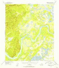
2 editions found
Other maps of this area

1945 · Livengood
USGS Topo · 1:250,000

1948 · Kantishna River
USGS Topo · 1:250,000

1950 · Fairbanks
USGS Topo · 1:250,000

1950 · Fairbanks C-5
USGS Topo · 1:63,360

1950 · Fairbanks D-5
USGS Topo · 1:63,360

1951 · Kantishna River
USGS Topo · 1:250,000

1951 · Fairbanks
USGS Topo · 1:250,000

1951 · Tanana
USGS Topo · 1:250,000

1951 · Livengood
USGS Topo · 1:250,000

1951 · Livengood A-5
USGS Topo · 1:63,360