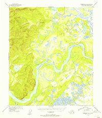
1954 Map of Fairbanks D-6
USGS Topo · Published 1956About this map
Tolovana sits at the vital junction of two major interior Alaskan waterways in this mid-1950s study. The landscape is defined by the massive braided course of the Tanana River, which dominates the southern half of the quadrangle before it meets the winding Tolovana River. The terrain transitions sharply from the low-lying, pond-filled wetlands of the river basin to the steep, rising ridges in the northwest, marked by the survey point VABM Tolovana 2005. Evidence of seasonal overland travel is visible through the Sled Road that traverses the northern marshes and the western hills. The intricate network of smaller water features, including Swanneck Slough and Rock Cr, illustrates the complex drainage patterns of this subarctic wilderness before significant modern development altered the region's accessibility.
Find a feature on this map
8 named features on this map. Tap any name to fly to it.
Don’t see what you’re looking for? This feature index may not catch every label — zoom into the map to look around manually.
Map Details
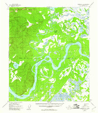
Editions of this 1954 Fairbanks D-6 Map
2 editions found
Other maps of this area

1945 · Livengood
USGS Topo · 1:250,000

1948 · Kantishna River
USGS Topo · 1:250,000

1950 · Fairbanks
USGS Topo · 1:250,000

1950 · Fairbanks C-5
USGS Topo · 1:63,360

1950 · Fairbanks D-5
USGS Topo · 1:63,360

1951 · Kantishna River
USGS Topo · 1:250,000

1951 · Fairbanks
USGS Topo · 1:250,000

1951 · Tanana
USGS Topo · 1:250,000

1951 · Livengood
USGS Topo · 1:250,000

1951 · Livengood A-5
USGS Topo · 1:63,360