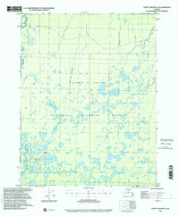
1956 Map of Fort Yukon D-3
USGS Topo · Published 2001About this map
Yukon Flats dominates this mid-century landscape, characterized by an intricate network of wetlands, ponds, and meandering watercourses. The Christian River winds through the western portion of the territory, while large bodies of water like Gilbert Lake and Tinehvan Lake dot the low-lying terrain. Human presence is concentrated near the southwestern corner at Alexanders Village, a settlement reached by a documented Winter Trail.
Find a feature on this map
10 named features on this map. Tap any name to fly to it.
Don’t see what you’re looking for? This feature index may not catch every label — zoom into the map to look around manually.
Map Details
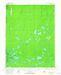
Editions of this 1956 Fort Yukon D-3 Map
2 editions found
Other maps of this area

1951 · Fort Yukon
USGS Topo · 1:250,000

1951 · Christian
USGS Topo · 1:250,000

1952 · Fort Yukon C-2
USGS Topo · 1:63,360

1952 · Fort Yukon C-3
USGS Topo · 1:63,360

1952 · Fort Yukon C-4
USGS Topo · 1:63,360

1955 · Fort Yukon D-2
USGS Topo · 1:63,360

1955 · Fort Yukon D-3
USGS Topo · 1:63,360

1955 · Fort Yukon D-4
USGS Topo · 1:63,360

1955 · Fort Yukon C-3
USGS Topo · 1:63,360

1956 · Christian
USGS Topo · 1:250,000