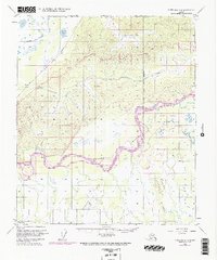
1950 Map of Fairbanks C-4
USGS Topo · Published 1974About this map
The Tanana River dominates this interior Alaska landscape, weaving through a complex network of waterways including the Wood River and Tatlanika River. This 1950s era survey, updated with 1970s photogrammetric data, reveals the transit-dependent nature of the region. The Alaska Railroad cuts through the northwest corner near Twomile Lake, providing a vital link alongside the Fairbanks Nenana Road.
Find a feature on this map
14 named features on this map. Tap any name to fly to it.
Don’t see what you’re looking for? This feature index may not catch every label — zoom into the map to look around manually.
Map Details
Editions of this 1950 Fairbanks C-4 Map
4 editions found
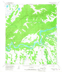
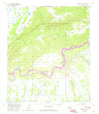
Other maps of this area

1949 · Fairbanks B-5
USGS Topo · 1:63,360

1949 · Fairbanks D-3
USGS Topo · 1:63,360

1949 · Fairbanks D-4
USGS Topo · 1:63,360

1949 · Fairbanks B-4
USGS Topo · 1:63,360

1949 · Fairbanks B-3
USGS Topo · 1:63,360

1950 · Fairbanks
USGS Topo · 1:250,000

1950 · Fairbanks C-3
USGS Topo · 1:63,360

1950 · Fairbanks C-5
USGS Topo · 1:63,360

1950 · Fairbanks C-4
USGS Topo · 1:63,360

1950 · Fairbanks D-5
USGS Topo · 1:63,360